Damour, Beirut, LB
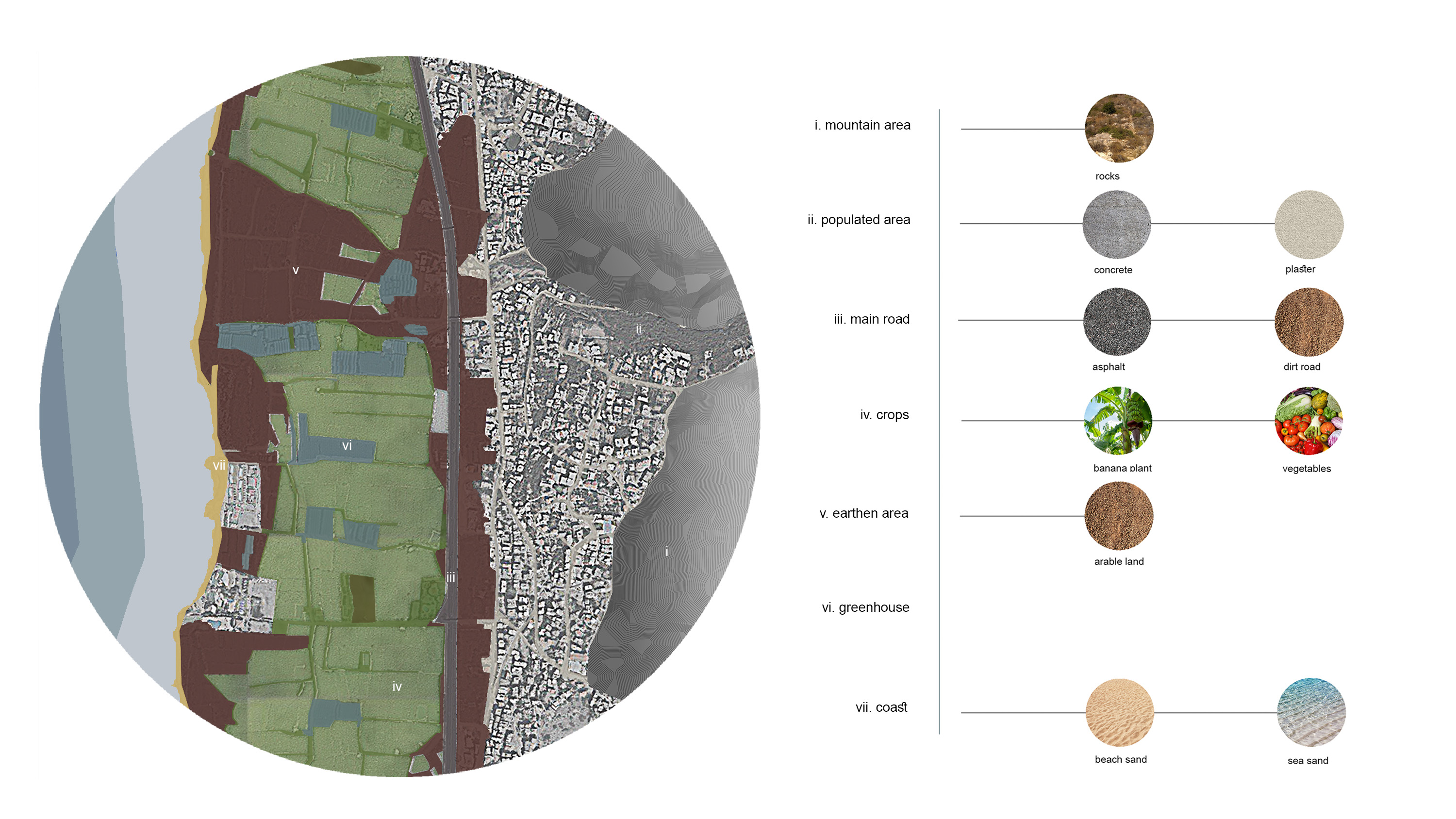
Damour is a coastal city in Lebanon located 24 km south of the capital Beirut.It is located between Beirut and Saida and characterized by the presence of a still preserved agricultural plain and a compacted urban core town. The southern highway separates the agricultural plain from the urban area. Localities of Mechref and Saadiyat populate the municipality of Damour. In addition, the city neighbors with the main coastal highway of the state, in a distance of 10 minutes from the international airport of Beirut and 20 minutes from the Capital's down town area. Standing on a small hill overlooking the Mediterranean Sea, it is surrounded by large areas of banana and vegetable plantations. The coastal plain of Damour, located between the highway and the sea, encompasses an area of around 1,950,000 square meters, where banana dominates around 70% of the area. The agricultural roads inside this plain present a total length of around 20 km.
The mapping research analysis focused on:
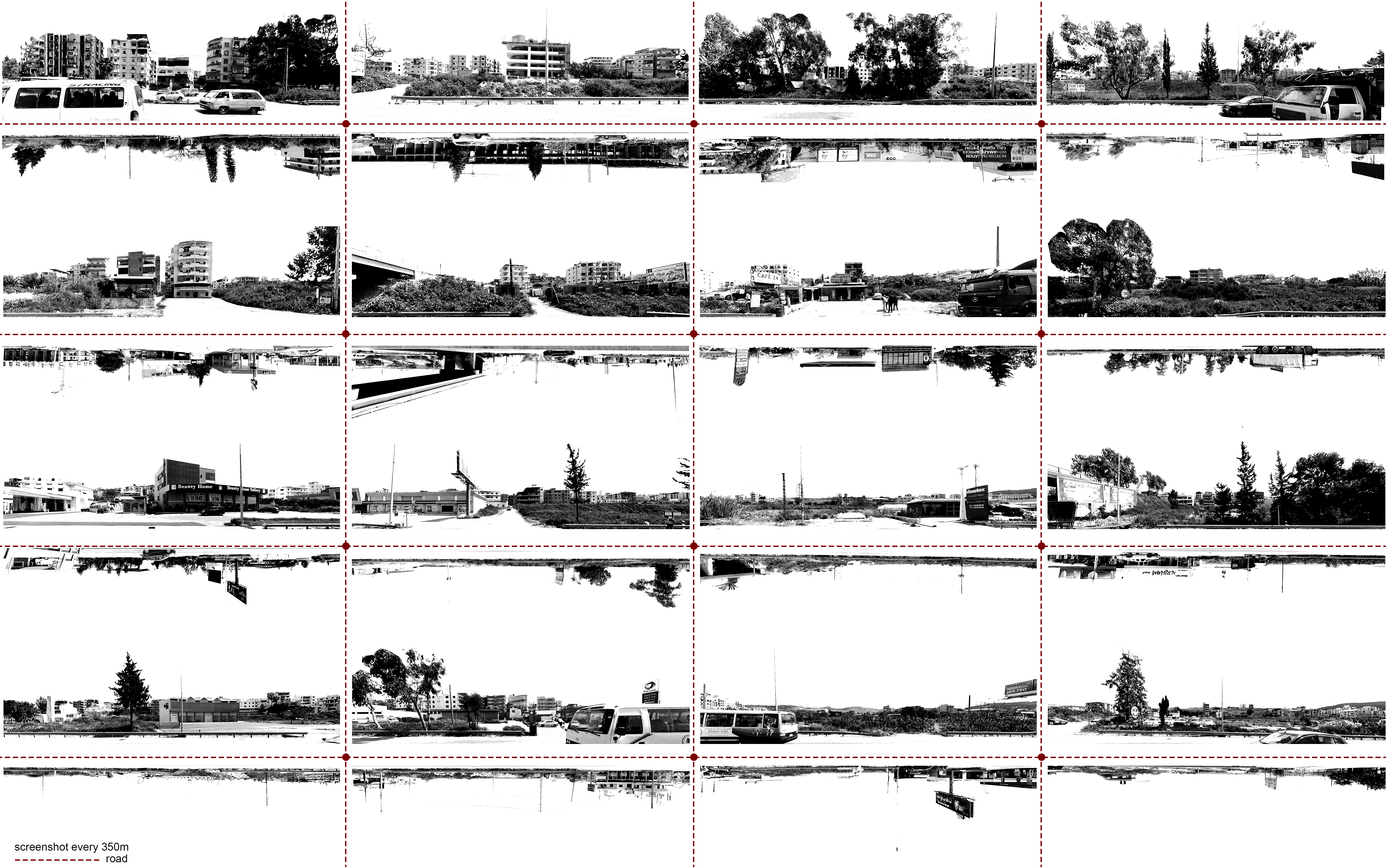
The highway,the compacted urban core town and the coastline.
The relationship between highway, town,coastline
Damour’s agriculture development
Access to the sea(from town,highway)
The relationship between Beirut and the coastal city Damour
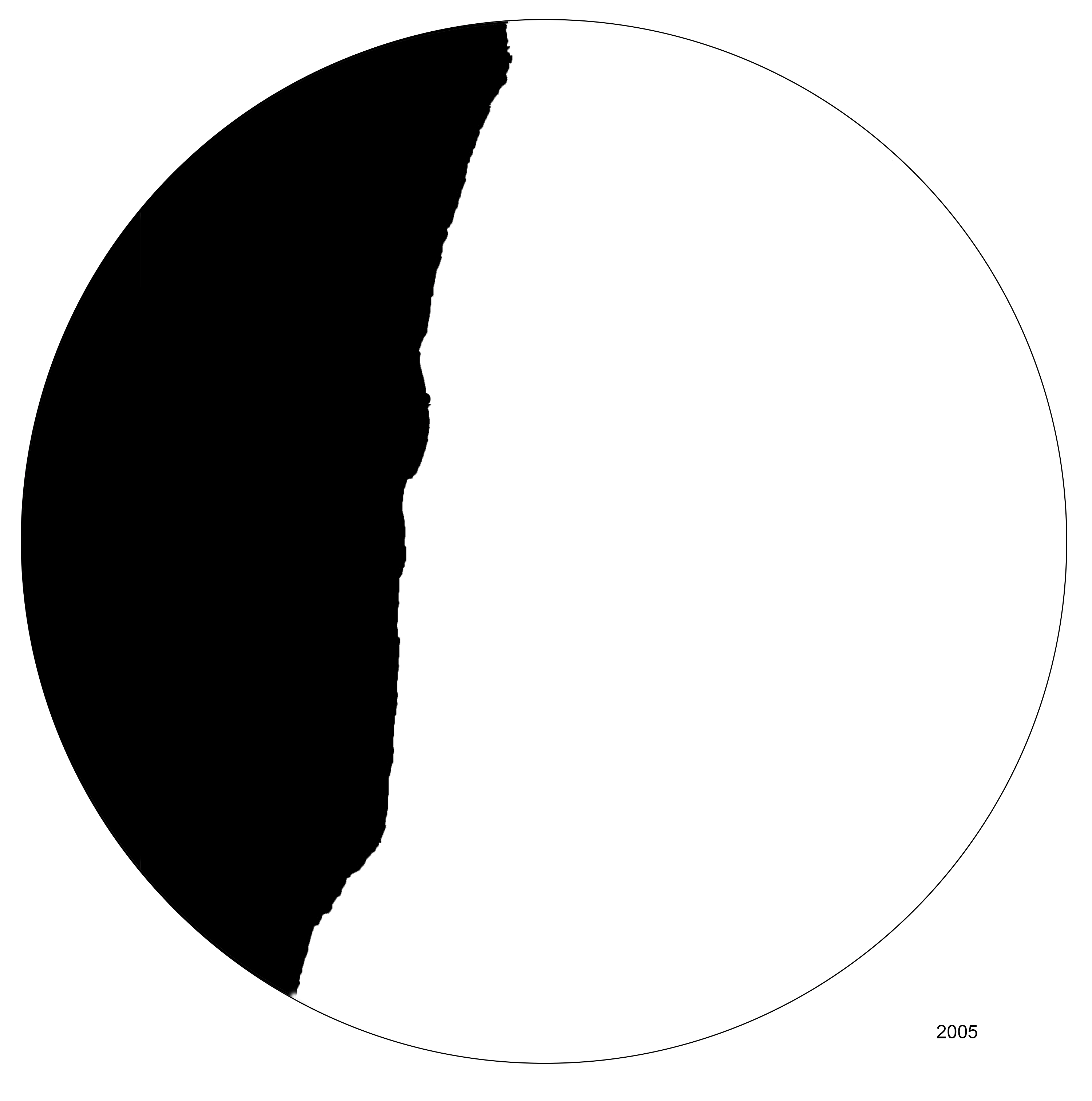
The coastline transformation which has caused problems to the local society eg.fishing inability


A.X.I.S
According to the research, there are four different layers in Damour: the mountain that has a strong presence in the landscape, the urban anarchist structured town, the agricultural area and the coast. The strategy concerns the creation of a new axis that will cross these four conditions. In every condition,which axis meets, it will change through its width, its length, its extensions etc. so as to create new situations and uses. More specifically when the axis passes the mountain it creates a topography around it. Then in the piece of the city the axis, through the courtyards and the careless sidewalks, produces new public space through the creation of plazas.With this method the axis creates a new network for sitting, walking, cycling routes throughout all the neighborhoods of Damour. After that, in the agricultural area, the axis transforms into a mechanistic system (which contains a series of vertical farms, railways, transportation systems etc.)which aims at the formation of a new production. Through this system ,the production of bananas can increase sharply in the future ,as well as that of various fruits and vegetables. In the end, the axis meets the seashore and then it breaks and starts creating floating platforms that hosts various social functions such as cinema, leisure and rest areas, etc. These platforms are connected to a maritime transport system via small boats that travel to other points of Beirut .In general, the whole plan, and separately each territory, can be developed and evolved over the years so as to create a new masterplan for Damour.